Will reclaim all encroached water bodies in and around Hyderabad, says Bhatti Premium
The Hindu
Telangana government to use Geospatial Technology to reclaim encroached water bodies in Hyderabad for restoration.
The State government is determined to make the water bodies in and around State Capital Hyderabad encroachment free after realising that as many as 491 of the 920 identified lakes and tanks had been fully or partially encroached in the last 20 years.
“We will reclaim all the encroached water bodies using the Geospatial Technology applications through Telangana Remote Sensing Applications Centre (TGRAC). This nodal agency has taken up the task to map, identify the water bodies and possibly encroachments using legacy data (historical geospatial datasets) before 2014 and after the formation of Telangana State,” Deputy Chief Minister Mallu Bhatti Vikramarka asserted during an interaction.
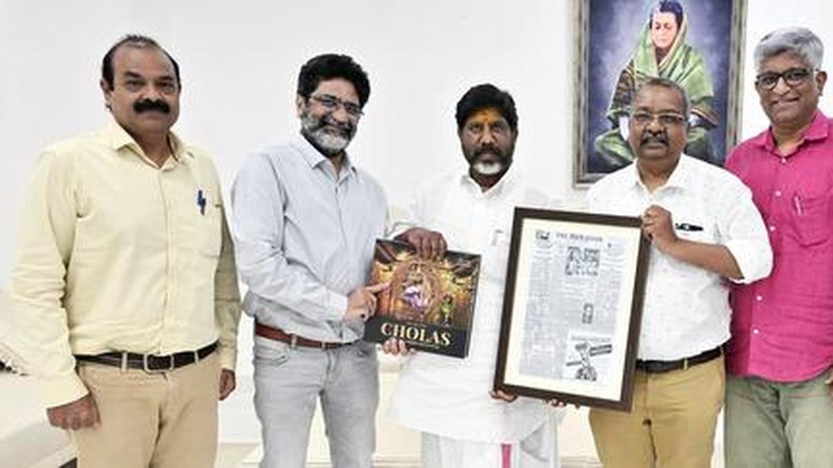
The Deputy CM during over an hour long interaction with The Hindu Editor Suresh Nambath, Digital Editor Subhash Kevin Rai, Visual Editor Dinesh Krishna and other senior Editorial team leaders made it very clear how the Congress government is going to crach the whip on anybody, who has encroached the water bodies.
Stating that the TGRAC, functioning under the Planning department had done a meticulous job in identifying and demarcating the water bodies in and around Hyderabad and up to Outer Ring Road.
“We have used remote sensing and GIS techniques in and around Hyderabad and up to ORR along with its area and extent to identify, demarcate the water bodies,” he said pointing out that this was done to create a standard digital database of all water bodies and help in identifying the possible encroachments,” Mr. Bhatti Vikramarka noted.
Elaborating further, the Deputy CM said the TGRAC team had used revenue village Cadastral Maps, administrative boundaries beginning with village, mandal, district, GHMC and ORR. Survey of India toposheets of the year 1970, Satellite images of year 2014 and 2023 were used during the entire exercise.
Explaining the methodology, Mr. Bhatti Vikramarka said the water bodies information as available in the Cadastral Maps (of 1940s) were extracted and digitised. Then the Survey of India Toposheet was used to delineate the rest of the water bodies, duly superimposing them on the Cadastral Maps to exclude water bodies available on the Cadastral Maps.

CPI-M accepts DMK's five-seat offer for Tamil Nadu Assembly elections, prioritizing INDIA bloc unity over seat demands.

Ricky Rai, son of former underworld operative Muthappa Rai, on Monday appeared before the Bengaluru Traffic Police for questioning in connection with a case involving a Lamborghini performing dangerous stunts at Anil Kumble Circle on March 21.

The Dispur election heats up as 'CongBJP' defections shape a high-stakes contest between veteran candidates from BJP and Congress.

Bengaluru's M. Chinnaswamy Stadium conducts readiness drill ahead of IPL 2026, ensuring upgrades and technical preparations are complete.

First-level randomisation of EVMs completed in Nagapattinam for upcoming elections, ensuring transparency and security.

A district-level committee in Krishnagiri has been formed to assess and verify seizure claims of goods and cash.

Minister Anam Ramanarayana Reddy pledges government support for local fishermen and farmers facing challenges in Andhra Pradesh.

MP M. Sribharat urges collective efforts to revive Visakhapatnam Steel Plant, highlighting key reforms for crucial recovery and growth.

141 candidates have filed nominations for Kozhikode's Assembly elections, with scrutiny on March 24 and campaigning intensifying.

BJP's Vijayendra accuses Congress of using money to influence Bagalkot bypolls, urging voters to reject their tactics.

First randomization of electronic voting machines completed in Tirunelveli and Tenkasi districts for upcoming Assembly elections.

RPF seizes 10.12 kg of unclaimed cannabis worth ₹5.06 lakh from a train in Mangaluru.

Kolar's groundwater levels rise to 50-100 ft due to the K.C. Valley project, ensuring clean water and improved health outcomes.