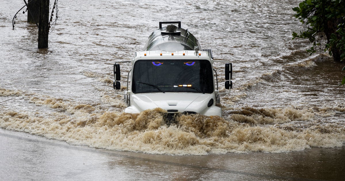
Stronger, Bigger Hurricane Erin Forecast To Create Dangerous Surf Along U.S. Coast
HuffPost
Dare County, North Carolina, declared an emergency and ordered an evacuation beginning Monday of Hatteras Island on the Outer Banks.
MIAMI (AP) — A stronger and bigger Hurricane Erin pelted parts of the Caribbean and was forecast to create dangerous surf and rip currents along the U.S. East Coast this week.
It reintensified to a Category 4 storm with 130 mph (215 kph) maximum sustained winds early Monday and moved closer to the Southeast Bahamas, according to the U.S. National Hurricane Center in Miami.
Around 5 a.m. Monday, Erin was about 105 miles (170 kilometers) north-northeast of Grand Turk Island and about 915 miles (1,470 kilometers) south-southeast of Cape Hatteras, North Carolina. The storm was moving northwest at 13 mph (20 kph).
The Bahamas government issued a Tropical Storm Watch for the central Bahamas, while a Tropical Storm Warning remained in effect for the Turks and Caicos Islands and southeast Bahamas, the hurricane center reported.
Additional strengthening was forecast for Monday followed by gradual weakening, but Erin was expected to remain a large, major hurricane into midweek.


