Himachal CM issues direction to identify earthquake-prone areas, landslides in the State
The Hindu
Mr. Sukhu asked the officers to develop an advance warning system to mitigate disasters and improve the disaster management response capacity system.
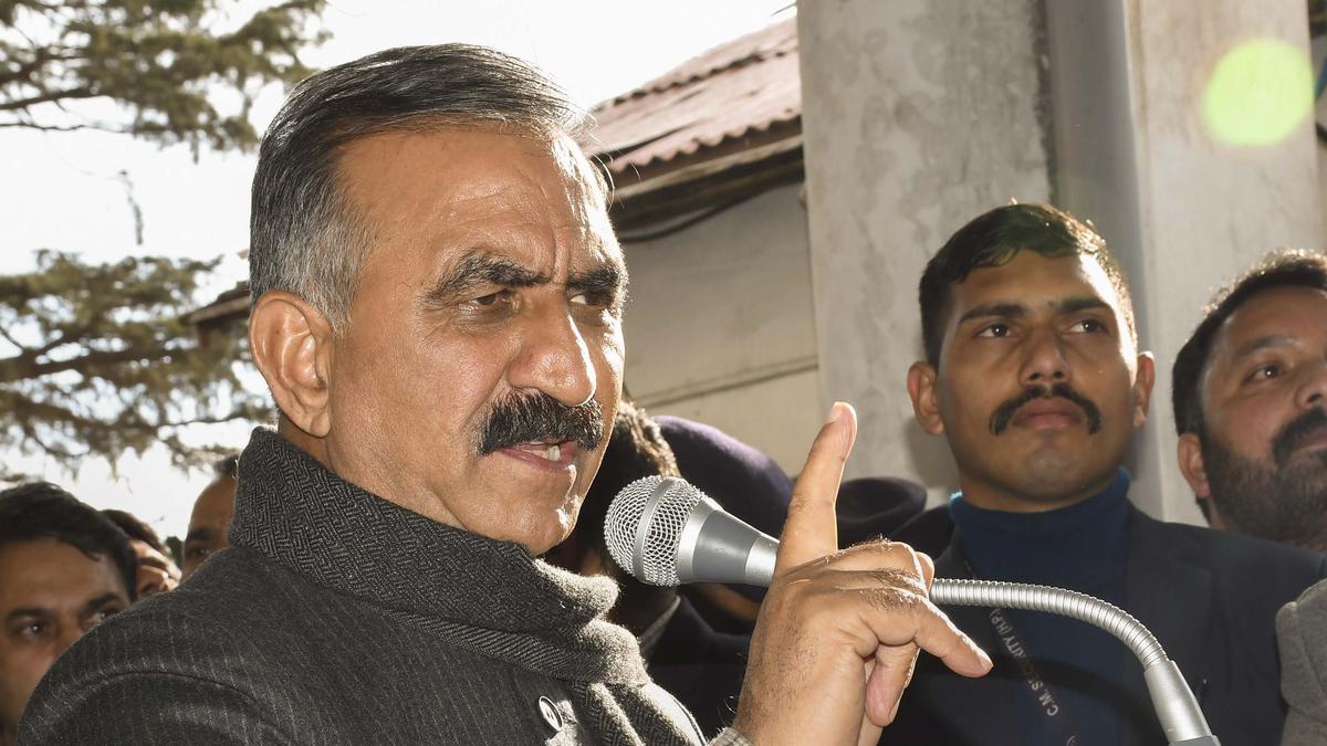
Amid the ongoing disaster in the form of sinking Joshimath in neighbouring Uttarakhand, Himachal Pradesh Chief Minister Sukhvinder Singh Sukhu on Monday issued directions to identify earthquake-prone areas along with landslides and sinking zones across the State.
He was presiding over a high-level disaster management meeting in Shimla. The Chief Minister directed the concerned departments to identify the areas more prone to earthquakes particularly in Chamba, Kangra, Kullu, and Kinnaur districts, and to prepare a detailed report of landslides and sinking zones. He also issued directions to identify the black spots which were a major cause of road accidents in the State.
Mr. Sukhu asked the officers to develop an advance warning system to mitigate disasters and improve the disaster management response capacity system, and stressed upon adopting the measures to strengthen the response and awareness system.
According to an official statement, during the meeting, the Chief Minister was informed about the sinking zones and landslide-prone areas in the State as he sought information regarding the preparedness measures adopted from time to time to overcome such incidents. Directions were issued for mapping of glaciers through new and advanced technology and also to conduct a study and submit the report of the areas more prone to earthquakes, said the statement.
It added that the Chief Minister also asked officers to make therapeutic arrangements for snake bites cases and to make sure that the areas more prone to snake bites are prioritised on the list.

First tranche of Rythu Bharosa released by CM Revanth

Collectors in Kanniyakumari and Thoothukudi inspect polling stations to ensure election preparedness ahead of Tamil Nadu's assembly elections.

The Vice-Chancellor of Rajiv Gandhi University of Health Sciences (RGUHS) B. C. Bhagavan said on Sunday that the university will soon open a research centre on Yoga and Naturopathy on 60-acre land in Bengaluru.

Parliamentary committee urges swift action to fully operationalise Lokpal's inquiry and prosecution wings amid rising corruption complaints.

Hyderabad paediatrician Dr. Sivaranjani Santosh faces legal action from pharma firms over her remarks on ORS labelling reforms.

Palla urges NDA leaders to unite for grassroots outreach, enhancing public trust through balanced welfare and development initiatives.

DRI seizes ₹8.3 crore in drugs and arrests three in Bengaluru, disrupting a major trafficking operation.

Jeevan Reddy announces his decision to part ways with Congress party

Yercaud's garbage to be processed through biomining, addressing waste management issues in the tourist town and surrounding panchayats.

India's gem and jewellery sector aims for a 15% boost in domestic sales by 2026 to counter export challenges amid war impacts.

Tamil Nadu's Fisheries Department will install 26,000 artificial reefs in Rameswaram to protect rare marine species and enhance fish breeding.

Deputy CM visits fire mishap site in Khammam district, vows proper compensation

Over 750 wheelchairs are prepared in Thoothukudi for accessible voting, ensuring convenience for differently abled and elderly voters.