Cyclone Mandous to bring heavy rains over T.N. today before it hits coast around midnight
The Hindu
The cyclone is expected to make landfall around Mamallapuram at about midnight on Friday; the weather warning for Saturday has been downgraded from red, to orange and yellow; many parts of the State are already receiving heavy rains
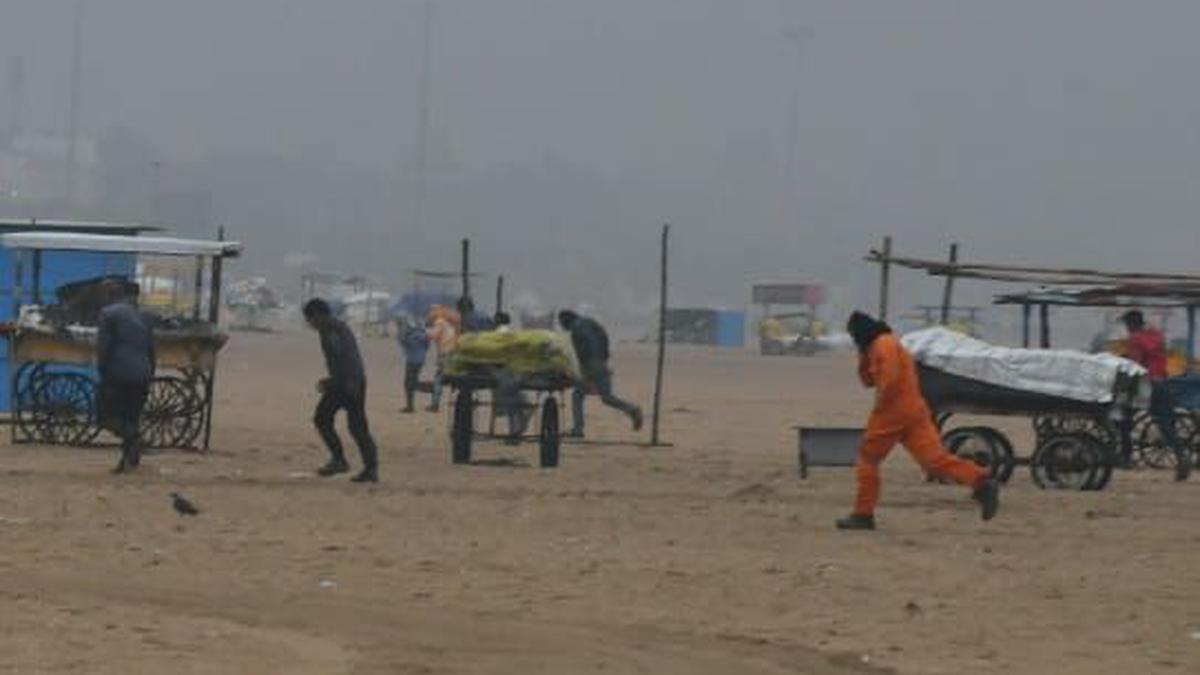
Severe cyclonic storm Mandous is set to weaken into a cyclone, as it heads towards the north Tamil Nadu coast, and makes landfall around Mamallapuram between midnight on Friday and the early hours of Saturday.
Many coastal and delta districts began to receive moderate rains from Thursday night, and intense rains are picking up pace in the north coastal areas particularly around Chennai and its surrounding districts.
Some of the weather stations in TN that received moderate to heavy rains till 5.30 am on Friday are: Nungambakkam 5.3 cm; Meenambakkam 5 cm; Ennore port 3 cm; Madhavaram 6 cm; YMCA Nandanam 5.4 cm; Puzhal 4.4 cm; Taramani 4 cm; MRC Nagar 3 cm; Villivakkam 3.7 cm; Pamban 2.5 cm; Nagappattinam 2.2 cm; Karaikal 1.8 cm and Puducherry 1 cm.
As the severe cyclonic storm is parked close to the north TN coast, the India Meteorological Department (IMD) has maintained its red colour coded warning for Kancheepuram, Chengalpattu and Villupuram on Friday.
While isolated heavy to very heavy rains may lash over districts in the north, including Chennai, Tiruvallur, Ranipet, Cuddalore and Tirupattur, isolated heavy rains are possible over 16 other districts, such as Madurai, Karur and delta districts.
The weather warning has been downgraded to orange and yellow colour codes on Saturday. Light to moderate rains may occur at most places on Saturday.
However, north TN may have chances of intense rains in one or two places.

IUML leader Kader Mohideen asserts that TVK's entry won't split minority votes, emphasizing the alliance's unity and support for the DMK.

There will be no power supply on March 28, from 10 a.m. to 5 p.m., to facilitate the shifting of a five-way Ring Main Unit (RMU) near Kaveramma Temple. As part of this operation, power supply will be temporarily suspended in areas served by the 66/11 kV Electronic City station.

The filmmaker's statement comes after a police complaint was filed against the makers and the actor for the image which shows Ranveer Singh's character smoking while wearing a turban.

The release of new Pay Revision Commission recommendations in Telangana is unlikely any time soon as the deadline for completion of pending pay fixation has been extended to September 30, 2026

CBI conducts searches in Reliance Telecom Ltd. case involving alleged ₹114.98 crore cheating of State Bank of India.

BJP received over ₹6,000 crore in donations for 2024-25, outpacing all other national parties combined by tenfold.

Chief Electoral Officer highlights cash-for-votes as a major challenge in Puducherry elections, emphasizing strict measures to combat it.

ICAR-CTCRI develops an electronic starch indicator to help cassava farmers accurately measure starch content for fair pricing.

Karnataka government to request VIP tickets for MLAs for IPL matches amid complaints about difficulty in getting hold of tickets and pricing.

Telangana struggles to retain IT professionals in Tier-II and III cities, with youth favoring Hyderabad after training.

CPI(M) leader K.K. Shailaja aims to capture Peravoor, leveraging development promises and local dissatisfaction with Congress leadership

BIMS celebrates 50 years of excellence in management education with a golden jubilee event in Mysuru on March 28.

The film is based on the book ‘Operation Sindoor: The Untold Story of India’s Deep Strikes Inside Pakistan’ by Lt Gen K.J.S. Tiny Dhillon