The maths of how India’s coastline lengthened without gaining new land Premium
The Hindu
Union Ministry of Home Affairs announces India's coastline increased to 11,098.8 km, revealing the complexity of coastline measurement.
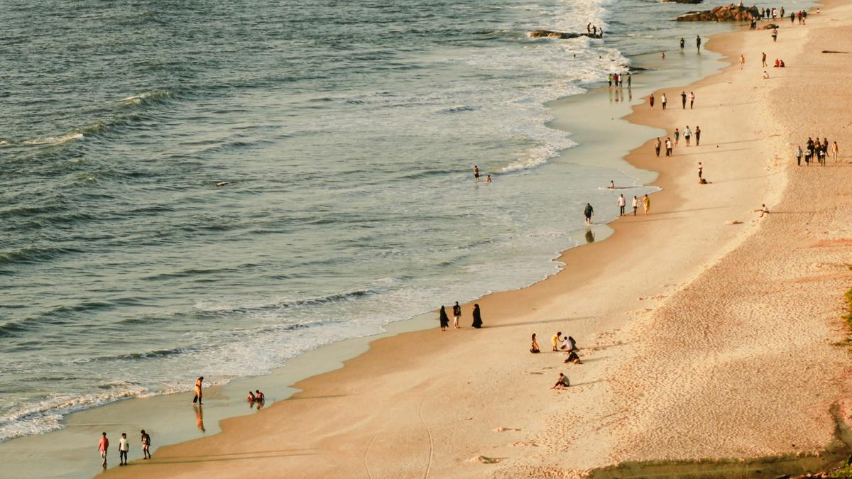
In December 2024, the Union Ministry of Home Affairs made an important announcement as part of its 2023-2024 annual report. It said the length of India’s coastline had increased from 7,516.6 km to 11,098.8 km, and that the length is also currently under review.
The 7,516.6 km figure was first recorded in the 1970s based on measurement techniques available at the time. The new revised figure wasn’t prompted by any territorial expansion through new land/island annexation or geological upheaval, like tectonic activity stretching the shores. The last coastal State to join the Union of India was Goa in 1961 and the only other State that joined after — Sikkim in 1975 — is landlocked. The enclaves India exchanged with Bangladesh in 2015 also lie deep inland.
So what changed?
The root of the discrepancy lies in geometry, in a problem called the coastline paradox. The previous estimate from the 1970s banked on maps that displayed India’s coastline at a 1:4,500,000 resolution, which is too coarse to capture intricate features like estuaries, tidal creeks, sandbars, and coastal ridges. Many island groups, particularly the Andaman & Nicobar and Lakshadweep, also hadn’t been comprehensively mapped or included.
The more recent updated measurement — performed by the National Hydrographic Office (NHO) and the Survey of India — used electronic navigation charts at a much finer scale of 1:250,000. Preparing these charts requires the use of technologies like geographic information systems, satellite altimetry, LIDAR-GPS, and drone-based imaging. The government has also said the coastline length will be revised every 10 years from 2024-2025, as per the report.
The Survey of India used highwater lines prepared by the NHO based on 2011 data on electronic navigation charts to measure the coastline. The highwater line was used as the base reference and river mouths and creeks were closed off at a fixed threshold inland. The review also included islands exposed to low tide.
But for all these advances, there is a limitation — and that comes from geometry.

Discover the Minor Planet Centre, the key hub for tracking and verifying observations of small solar system bodies.

In this week's Science for All newsletter, XX explains

Test your knowledge with the quiz on Science films at the Oscars through history

Set between the Siwalik hills and the plains, Butwal offers travellers a mix of regional cuisine, pilgrimage trails to Lumbini and the comfort of Hyatt’s new hospitality landmark

Explore 2026's wallpaper trends in India, highlighting botanicals and handmade designs that enhance modern homes with nature-inspired aesthetics.

Mercedes-Benz CLA 250+ with EQ Technology review: design, performance, range and features explained. Discover how the new electric CLA combines advanced AI, long range, fast charging and futuristic styling for the next generation of luxury EVs.

AI tool for sparrow conservation

BTS’s comeback with ‘Arirang’ marks a major global music event. When does the album release, and where can you watch their concert live stream? We have all the details

The 2026 U.S. cholesterol guidelines urge starting screening and treatment at 30 to prevent cardiovascular disease effectively.

Olam Festival 2026 in Thiruvananthapuram returns March 27-29 with 120+ vendors, music, art, and cultural zones.

A few storytellers in Thiruvananthapuram share their journeys, challenges, and evolving methods on World Storytelling Day, inspiring young minds.

76-year-old Kurian Jacob from Kerala triumphs with seven medals, including five golds, at the Open Masters Games in Abu Dhabi.

Explore the nature of the human mind as an emergent property of brain activity and complex neural interactions.