Satellite-based toll collection to pilot on Bengaluru Mysuru Expressway
The Hindu
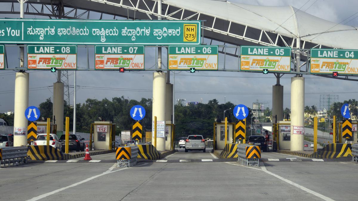
The Union government has decided to implement as a pilot project of the Global Navigation Satellite System (GNSS)-based barrierless free-flow tolling on the access-controlled 10-lane Mysuru-Bengaluru Expressway (Highway).
The Union government has decided to implement as a pilot project of the Global Navigation Satellite System (GNSS) based barrier less free flow tolling on access-Controlled 10-lane Mysuru-Bengaluru Expressway (Highway).
In a reply to a question by Rajya Sabha member Lahar Singh Siroya recently, Nitin Gadkari, Transport Minister, stated that it has been decided to conduct pilots of satellite-based toll collection on roads including Bengaluru-Mysuru NH-275 in Karnataka.
“The government has appointed a consultant to provide advisory services on the implementation of new technologies like GNSS based barrier-less free-flow tolling. GNSS has the capacity to retrieve the positioning of the vehicle on the National Highway and calculate the user fee based on the distance travelled,” Mr. Gadkari said.
On February 7, Mr. Gadkari told the Rajya Sabha that the technology, which has been under the government’s consideration for over three years, will allow barrier-free movement of cars, which will not be required to stop for toll payments.
He explained that the photo of the registration plate of the vehicle will be captured and the toll amount will be debited based on the actual length of the highway traversed by the vehicle. This will replace the radio frequency identification-based Fastags that were rolled out in 2016 and made mandatory from January 2021. A total of 8.13 crore Fastags have since been issued, and a penetration of 98% has been achieved, according to the Minister.

The government plans to amend the FCRA, introducing new regulations for NGO asset management and accountability for key functionaries.

The draft policy for “Responsible Digital Use Among Students”, released on Monday by the Department of Health and Family Welfare, has recommended that parents set structured routines with clear screen-time rules and prioritise privacy, safety, and open conversation with children on digital well-being.

Police Observer Sushant Kumar Saxena conducts surprise inspection at Shencottai police station, reviewing warrants and security arrangements ahead of elections.

Andhra Pradesh government to launch key projects in April, focusing on industrial growth and infrastructure development, says Nara Lokesh.

Lok Sabha refers the Corporate Laws (Amendment) Bill to a JPC amid opposition concerns over CSR provisions dilution.

SHG members in Kanniyakumari use snakes and ladders to raise election awareness and boost voter turnout.

Government accelerates consultations for early implementation of the Women’s Reservation Act to ensure women’s representation in 2029 elections.

CM A. Revanth Reddy distributes ₹1 crore insurance cheques to families of deceased Electricity department employees, enhancing financial security for workers.

The Bengaluru Traffic Police (BTP) registered 634 cases of drunk driving during a week-long special enforcement drive conducted across the city between March 16 and March 22.

GHMC intensifies action against property tax defaulters, seizing properties and offering a One Time Settlement scheme for payments.

CCB arrests three drug peddlers in Mangaluru, seizing ₹2.5 lakh worth of MDMA and other valuables.

TVK's 28 candidates in Puducherry include former BJP MLAs, a sitting Independent, and a retired police IG.

BRS submits notice on private member bill to Speaker