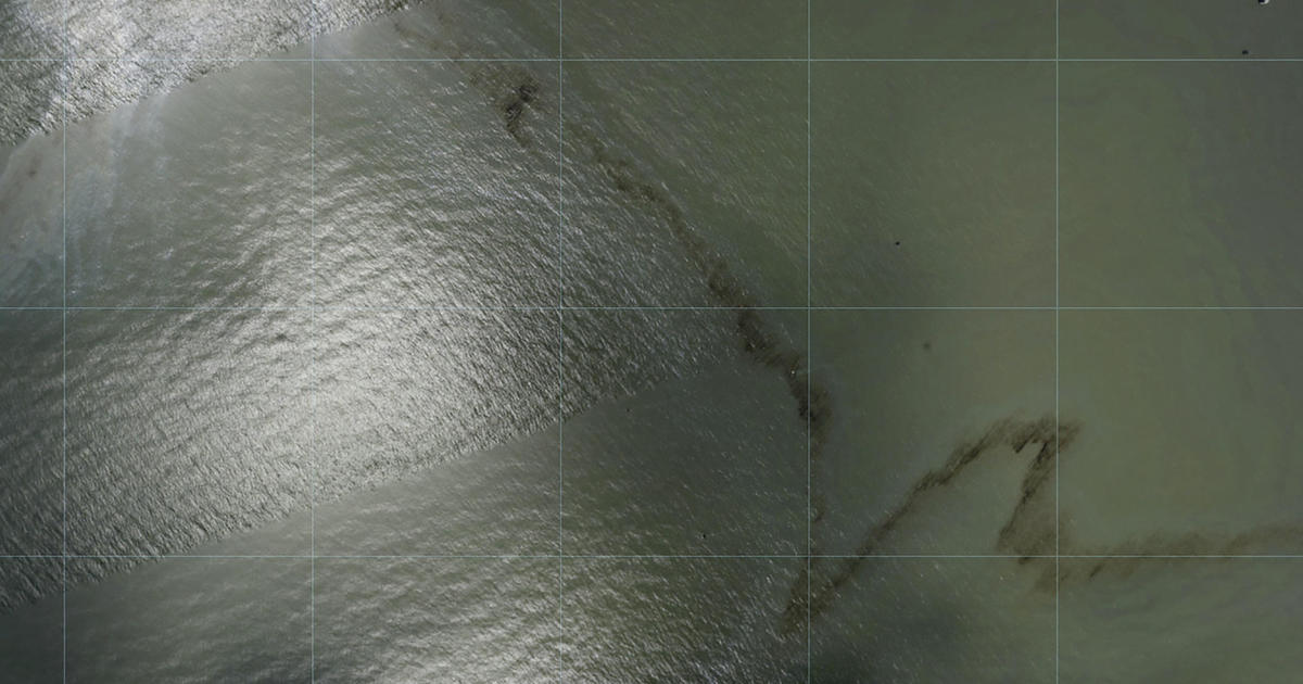
Photos show black slick in water near Gulf oil rig in wake of Hurricane Ida
CBSN
Photos show what appears to be a miles-long oil slick near an offshore rig in the Gulf of Mexico after Hurricane Ida, according to aerial survey imagery released Wednesday by the National Oceanic and Atmospheric Administration and reviewed by The Associated Press.
The government imagery, along with additional photos taken by the AP from a helicopter Tuesday, also show Louisiana port facilities, oil refineries and shipyards in the storm's path where the telltale rainbow sheen typical of oil and fuel spills is visible in the water of bays and bayous. Both state and federal regulators said Wednesday that they had been unable to reach the stricken area, citing challenging conditions in the disaster zone.More Related News
