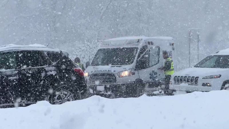
Lake-effect snow and frigid Arctic temperatures chill large swath of eastern US
CNN
Bone-chilling Arctic air gripped much of the eastern United States on Saturday, while lake-effect snow threatened to disrupt post-holiday travel in parts of the Great Lakes region.
Bone-chilling Arctic air gripped much of the eastern United States on Saturday, while lake-effect snow threatened to disrupt post-holiday travel in parts of the Great Lakes region. A frigid air mass that swept south across the northern Plains and Midwest into the South and East Coast is expected to linger through the weekend, bringing the coldest temperatures since last winter, according to the National Weather Service’s Weather Prediction Center. A wide stretch of the eastern US is forecast to experience temperatures dropping 15 to 25 degrees, from Minnesota to Texas, as chilly air moving over the record-warm Great Lakes triggers the season’s first major lake-effect snow event. Winter weather alerts were in effect for nearly 10 million people on Friday, with widespread snow totals expected between 6 to 12 inches. However, accumulations of 4 to 6 feet are possible this weekend in concentrated, narrow bands of snow. High temperatures this weekend will feel more like mid-to-late January in Chicago, Indianapolis, Atlanta, Nashville and Tallahassee. Nearly 70% of the US population is expected to experience temperatures below freezing over the next few days. Especially frigid conditions are expected Saturday morning in the northern Plains and Upper Midwest, with wind chills well below zero. This could increase the risk of hypothermia and frostbite, according to the Weather Prediction Center.

Vivek Ramaswamy barreled into politics as a flame-thrower willing to offend just about anyone. He declared America was in a “cold cultural civil war,” denied the existence of white supremacists, and referred to one of his rivals as “corrupt.” Two years later, Ramaswamy says he wants to be “conservative without being combative.”


